


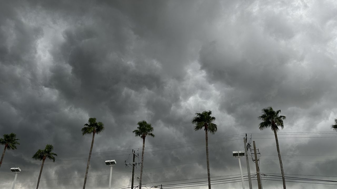
We are facing a severe weather threat Saturday morning into the early afternoon across Central Florida with our next cold front. Within this active pattern, there’s another front that will follow with similar threats late Tuesday.
An area of low pressure over the Plains will drag a cold front across the Gulf and southeastern United States today. Ahead of the front, a line of showers and storms will enter Central Florida during the predawn hours.
Models have this rain arriving in Marion County by 6 a.m., then working southeast toward I-4 between 6 a.m and 9 a.m., crossing I-4 and affecting areas southeast of Orlando between 9 a.m. and noon.
The rain should exit offshore the Sebastian Inlet by 2 p.m. Should the front slow, this timing may be adjusted as we watch the models.
All of Central Florida has a risk of an isolated severe storm. Winds of 60 mph and a brief tornado cannot be ruled out during this time. We may be in continuous coverage should we get into any warnings.
It will not be an all-day rain event, as once the front passes offshore, cooler and quieter weather will resume for the balance of Saturday into Sunday, with just some isolated showers lingering.
If any warnings are issued, tune in to Weather on the Ones on Spectrum News 13 for updates.
Another cold front will approach in similar fashion Tuesday.
While it is still several days out, it looks to be the second half of the day into the overnight hours of Tuesday into Wednesday.
The same threats are forecasted, with gusty winds, heavy rain and an isolated tornado.
We are already in a Day 5 risk category, which is rare. As this system develops, we will have a better idea of timing and impacts.
Our team of meteorologists dives deep into the science of weather and breaks down timely weather data and information. To view more weather and climate stories, check out our weather blogs section.