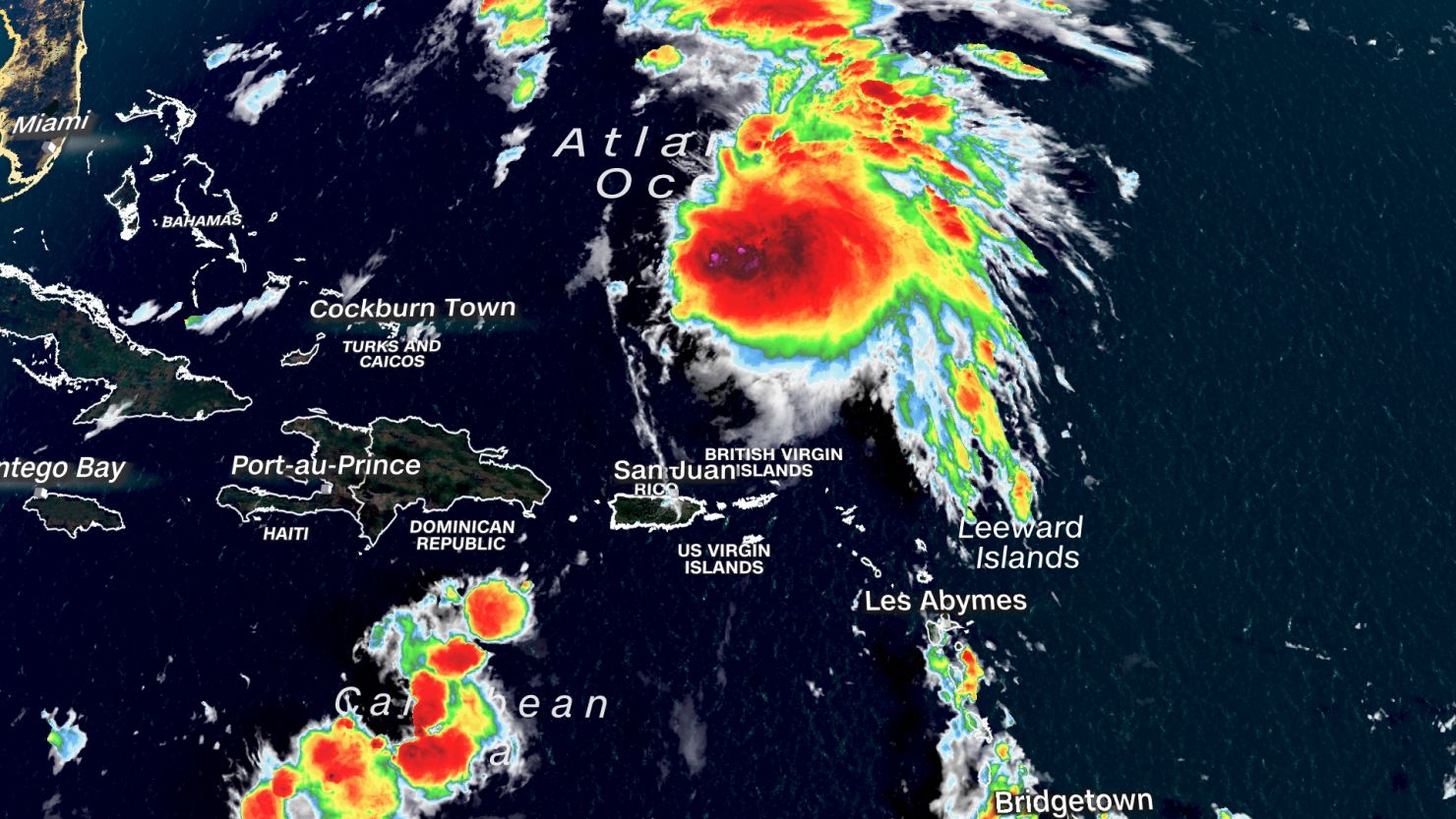
Tropical Storm Philippe is on track to deliver a dreary weekend to the Northeast, including a slug of tropical moisture which is raising the risk of flooding rainfall in an area that has been soaked repeatedly in recent weeks.
The tropical storm has 50 mph winds and is still hundreds of miles from the US. Philippe is expected to transition into a post-tropical storm by the time it makes landfall in Maine or Atlantic Canada Saturday night, but this will have little effect on Philippe’s ability to unload heavy rainfall and spread gusty winds.
Philippe’s projected track has echoes of Hurricane Lee in September, when the much-weakened post-tropical system brought strong winds and rain to parts of the Northeast and Canada.
For now, portions of New England and eastern New York are most likely to experience heavy rain and potential flooding. A Level 2 of 4 slight risk of excessive rainfall was issued for Saturday in these areas by NOAA’s Climate Prediction Center.
But the bull’s-eye of heaviest rainfall could shift if low pressure moving across the eastern US pulls Philippe closer to the Northeast. This potential shift could move the risk closer to the mid-Atlantic – an area where another deluge would be particularly worrisome.
Heavy rainfall is not expected to be as severe as last week, but a widespread 1 to 3 inches of rain is possible north of New York City in New York and into New England. Higher amounts closer up to 5 inches could fall where the heaviest rain sets up, most likely in Maine.
Heavy rainfall is not expected to be as severe as last week, but a widespread 1 to 2 inches of rain is possible across New York and New England. Higher amounts closer to 2 to 4 inches could fall where the heaviest rain sets up, likely in Maine.
Fall foliage is nearing or at peak condition in parts of Maine, so the timing of Philippe’s drenching rainfall could disrupt leaf peeping plans this weekend.
In addition to heavy rain, gusty winds are possible across portions of New England and Atlantic Canada Saturday night into Sunday as Philippe comes ashore.
Bermuda at risk for tropical strike
Philippe has quite a distance to travel before approaching the US and Canada but it will soon come in close contact with Bermuda. The island’s weather service issued a tropical storm warning Wednesday evening as Philippe closed in.
Bermuda is only 15 miles across, so landfalls are rare. Only eleven systems have made landfall on the island since 1851, according to data from NOAA. But Philippe won’t have to make landfall in order to unload strong wind gusts and heavy rain.
Tropical-storm-force wind gusts are likely across Bermuda when Philippe makes its closest pass on Friday. Rain arrived on Thursday afternoon, ahead of any wind.
Philippe is expected to be a tropical storm as it swipes the island, so the risk of widespread damage is limited, but power outages are possible.