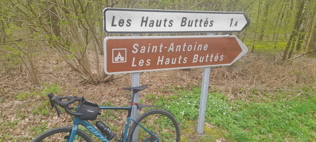
Les Hauts Buttés from Monthermé

Les Hauts Buttés from Monthermé is a climb in the region French Ardennes. It is 8.9km long and bridges 359 vertical meters with an average gradient of 4%, resulting in a difficulty score of 200. The top of the ascent is located at 493 meters above sea level. Climbfinder users shared 4 reviews of this climb and uploaded 4 photos.
Road names: Rue Etienne Dolet, Rue Mgr Bihery, Haut du Terne & Les Fougères
4.0 by Trek2This is an automatic translation, the original language is: Dutch.Nice long climb, starting in Montherme. The start is a bit spicier but nowhere very tough. Then you can pick up the right cadence and cycle up at a nice pace. Nice climb and also very nice as a descent... read more
Photos (4)

If you want to upload your photos, you need to create an account. It only takes 1 minute and it's completely free.
- Add photos of your conquered climbs.
- Share your experience on all ascents you've climbed
- Submit your favorite climbs
Statistics
| Les Hauts Buttés from Monthermé This climb |
French Ardennes 152 climbs | Ardennes (France) 248 climbs | Ardennes 3442 climbs | Grand Est 1032 climbs | France 12227 climbs | Europe 43411 climbs |
|---|---|---|---|---|---|---|
|
200
|
rank
6
|
rank
6
|
rank
65
|
rank
213
|
rank
2926
|
rank
11665
|
|
Average gradient
4%
|
rank
87
|
rank
159
|
rank
2339
|
rank
733
|
rank
9272
|
rank
30602
|
|
Length
8.9km
|
rank
2
|
rank
3
|
rank
33
|
rank
105
|
rank
1504
|
rank
6021
|
|
Total ascent
359m
|
rank
2
|
rank
2
|
rank
19
|
rank
148
|
rank
2209
|
rank
8904
|
Classification
Road surface condition
Traffic
Climbing times
| 7 km/h | 01:16:17 |
| 11 km/h | 00:48:33 |
| 15 km/h | 00:35:36 |
| 19 km/h | 00:28:06 |
Popular


Reviews (4)

Nice long climb, starting in Montherme. The start is a bit spicier but nowhere very tough. Then you can pick up the right cadence and cycle up at a nice pace. Nice climb and also very nice as a descent
Mooie lange klim, startend in Montherme. Het begin is wat pittiger maar nergens heel zwaar. Daarna kun je lekker de juiste cadans pakken en op een mooi tempo naar boven fietsen. Leuke klim en ook heel fraai als afdaling

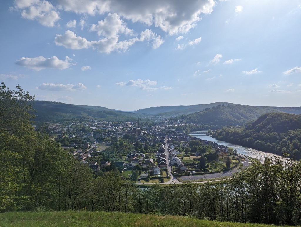
You start in the quiet village of Monthermé, here it starts with some punishing percentages but nothing crazy. You can then at some point turn left into a small street, where you have a separate rock face and a nice view. Recommended for that. Then you can continue up via the D989, where the wind can be nasty. It goes on for a long time but that's what we want, of course. Once at the top, you can descend towards Haybes, an arrow-shaped descent, lovely! Again, a viewpoint on Fumay.
Je begint in het rustige dorpje Monthermé, hier begint het met wat straffere percentages maar niks geks. Je kunt dan op een gegeven moment links een klein straatje in, daar heb je een aparte rotswand én een mooi uitzicht. Aanrader wat dat betreft. Daarna kun je weer verder naar boven via de D989, hier kan de wind vervelend staan. Hij loopt lang door maar dat is wat we willen natuurlijk. Als je boven bent kun je richting Haybes afdalen, een pijlsnelle afdaling, heerlijk! Ook hier weer een uitzichtpuntje op Fumay.
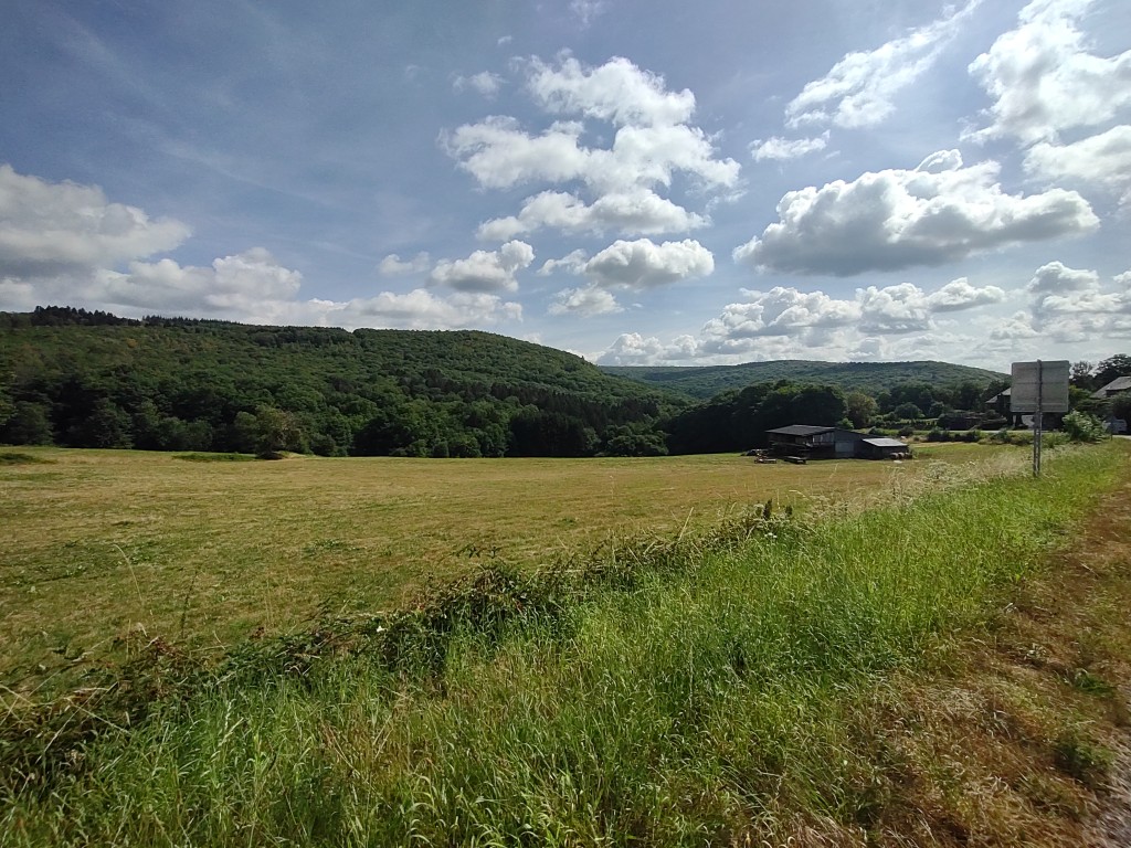
Very nice climb in this region, with some panorama's over the high plains, a welcome change from many climbs elsewhere in this area where you cycle almost completely through the forest. in addition, one of the longer climbs that I have come across here. Highly recommended!
Erg mooie klim in deze regio, met wat panorama's over de hoogvlakten, een welkome afwisseling van veel klimmen elders in dit gebied waarbij je bijna volledig door het bos fietst. daarnaast ook nog eens één van de langere klimmen die ik hier ben tegengekomen. Een aanrader!
A long run over good tarmac and little traffic,
If you switch back to the big slab from the small descent and continue on the false flat, you can train well for any upcoming cycling holidays in the mountains.
Een lange loper over goed asfalt en weinig verkeer,
Indien je vanaf de kleine afdaling terug naar de grote plaat schakelt en deze blijft doortrekken op de vals platte uitloper kan je toch wel eens goed doortrainen in functie van eventuele aanstaande fietsvakanties in de bergen.