Buildings Tell History - Bremen's Old Quarter and Schlachte
Walk through the old town centre along historically significant buildings.
© WFB/Jens Hagens
Discover the diversity of Bremen and learn a lot about the most important buildings. On grey panels you will find information about the history of the buildings and a QR code. If you scan this with your mobile phone, it will open this article with the route or a page on Wikipedia with further details.
Info about the Map
Distance: about 5 km
You can download the gpx data from the Komoot platform.
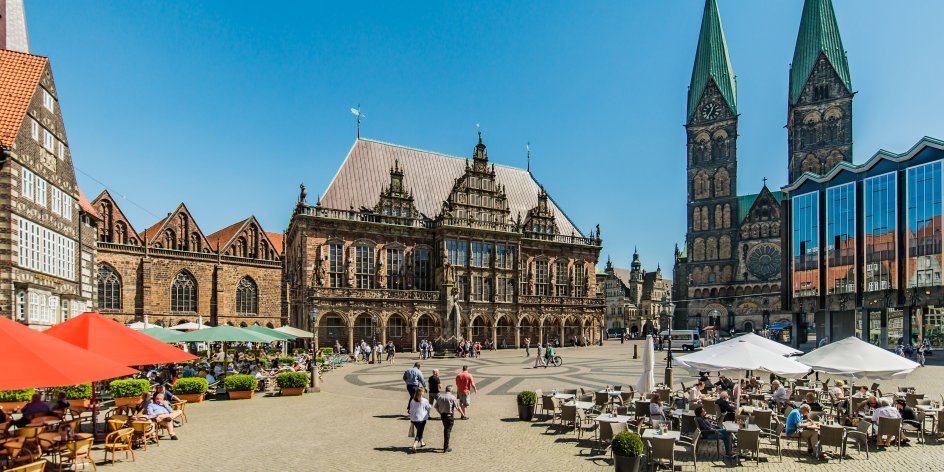
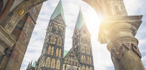
 Market Square West Side
You start at the savings bank near the Kontorhaus on the Market Square. Walk along the gabled houses towards the statue of the Bremen Town Musicians.
© WFB / Jonas Ginter
 Liebfrauenkirchhof, Shopping Streets and Arcades
You walk past the Bremen Town Musicians statue by Gerhard Marcks on the west side of the town hall and around the Liebfrauenkirche. The route then leads you into the city centre's shopping paradise. Turn left at the sign in the Katharinenklosterhof; there is a restaurant within the walls of the monastery.
 Between the Cathedral and the Wall
Behind the cathedral, the route continues towards the Wallanlagen, the former defences and today a park for local recreation in the middle of the city.
 Culture Mile, Ostertor
You'll find plenty of art and culture in the Wallanlagen, which is also where the trendy Ostertor neighbourhood begins. You will be guided around the Kunsthalle to Altmannshöhe. The memorial dating from 1935 was erected for the fallen of the First World War. The view of the Weser and the "Umgedrehte Kommode" is well worth the climb up the hill.
Note on accessibility: If the incline is too steep, please take a shortcut directly behind the Kunsthalle.
 Schnoorviertel
In Bremen's oldest neighbourhood, the Schnoor, you should also take a look at all the alleyways and squares outside of this tour. By the way: The passage through the "Hinter der Balge" passage may be closed in the evening.
Note on accessibility: The passages at the Katzencafé are very narrow. Please go directly across the Wüstestätte square. At the Landherrnamt, instead of taking the stairs that lead directly to the main post office, take the diversions around the bank building on Domsheide.
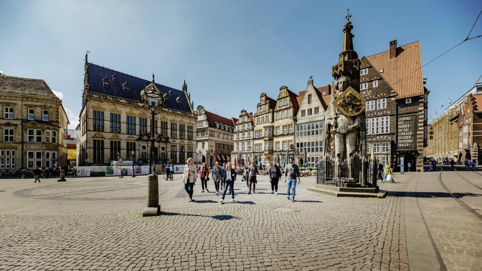
 Domsheide, Grasmarkt, Market Square
We head back towards the Market Square, Bremen's "parlour" with the UNESCO World Heritage: Town Hall and Roland Statue and the centre of this tour.
 Böttcherstraße
In the famous Böttcherstraße you will find special boards with explanations of the sights. Would you like more information? Then visit the tourist information centre in the Haus des Glockenspiels.
 Weserpromenande, Schlachte, Teerhof
Take the subway and you will reach the Weser with the Schlachte promenade. There are a few more signs on the Upper Schlachte.
Note on accessibility: The Schlachte can be reached via various ramps: Behind the St. Martini church and near the eye-catching yellow and colourful youth hostel; there is a lift at the Teerhof bridge, but it is only accessible from the Upper Schlachte. Our suggestion for viewing the Schlachte signs: After leaving Böttcherstraße, cross Martinistraße and turn left behind St Martini's Church towards the ramp. At Untere Schlachte you can now reach the signs for Schlachte in general, and if you can manage a few steps (accessible with a pushchair) you can also reach the sign for Gelbe Wuppe, and further on the sign for Großer Schlachtekran. Take the path back to the ramp to get to the Obere Schlachte and on to the Teerhofbrücke.
Historic Harbour District Schlachte - The Schlachte
The Schlachte was Bremen's harbour for over 600 years. It was first mentioned in 1250 as "slait" (Middle Low German for "hammered in" piles). From this time onwards, the banks of the Weser were developed into a harbour, as the old bellows harbour at the market could no longer be used by larger ships. The harbour stretched over 400 metres from the Martinikirche to the Fangturm. The harbour outside the city wall was connected to the city by alleyways via the battle gates. Seven of the ten former battle passages still exist today.
The Schlachte was home to a diverse harbour trade; the Schlachtvogt (harbour master) and Schlachtschreiber (slaughter clerk) were in charge and collected fees, while slaughter guards ensured security. Crane and scale masters, grain carriers (maskop carriers) and barrel carriers handled the cargo between ship and quay, while cart pushers and carters took care of the feeder service to the town. In the 17th and 18th centuries, around 300 people worked in the Schlachtehafen harbour.
However, the silting up of the Weser made Bremen increasingly difficult to reach for large seagoing vessels. From the 18th century onwards, almost only Weser barges brought goods from the sea to Bremen in light traffic. Only the construction of the free harbour between 1884 and 1888 and the Weser correction put an end to this situation. The Schlachte had had its day as a harbour and was converted into a green area in 1899. Its old structure of office buildings was lost during the Second World War, and a ramp - today's Weser promenade - was built between the river and the wall.
In the year 2000, 750 years after it was first mentioned in a document, the Bremer Schlachte was upgraded in terms of urban development and reopened in its new form.
 Langenstraße
We return to the market square via Langenstraße.
More Tours
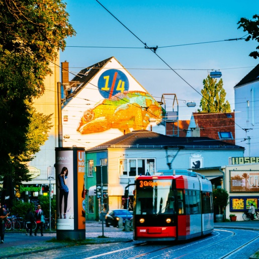
Bremen's Old Town
© WFB/Hans-Joachim Harbeck
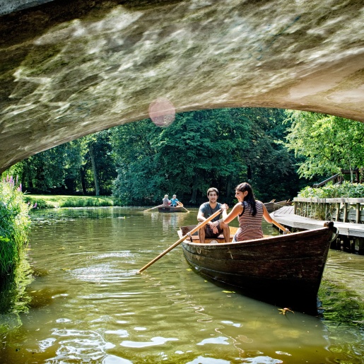
Old Town and Viertel
© WFB Wirtschaftsförderung Bremen GmbH / Jonas Ginter
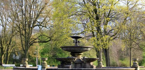
Walk in the Bürgerpark and Municipal Forest
© WFB Wirtschaftsförderung Bremen GmbH/T. Vankann
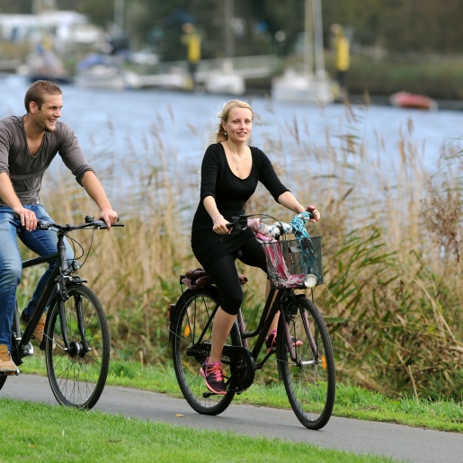
Cycling in Bremen
© WFB
You might also be interested in...
Sights in Bremen
Market square, Town Musicians, Town Hall, Cathedral - eleven Bremen classics that should not be missed on any visit.
© WFB / Carina Tank
