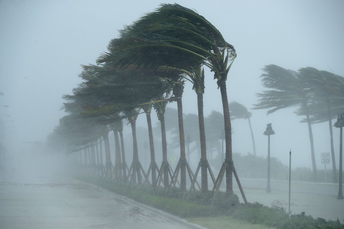
Hurricane Norma's forecast track could send the storm's impact rippling into Texas.
As of Thursday afternoon, the Category 4 hurricane had wind speeds of 130 miles per hour and was churning off the western coast of Mexico. It was headed toward Mexico at 7 mph and is expected to be near the southern part of the state of Baja California on Friday night into Saturday, according to a recent update from the National Hurricane Center (NHC).
Norma is expected to undergo small-intensity fluctuations throughout Thursday and will begin a gradual period of weakening on Friday and throughout the weekend.
Despite the storm's waning strength, it is expected to bring up to 3 inches of rain to parts of southern and central Texas, according to AccuWeather senior meteorologist Alex DaSilva. Most spaghetti models show the storm careening through north-central Mexico, with several models showing the storm's anticipated path through southern and central Texas. Spaghetti models are computer models illustrating potential storm paths.

Norma has substantial flooding potential, with the NHC expecting the storm to douse Baja California with up to 15 inches of rain. But much of the storm's rain potential will be wrung out by the mountains in western Mexico. As a result, Norma will weaken, and its path will likely bring much-needed rain to Texas, which has been struggling with severe drought all summer.
As of Thursday, 7 percent of Texas was suffering from exceptional drought, the most severe drought classification by the United States Geological Survey. However, more than 11 percent of the state was free from drought, a slight improvement over last week, when 9.6 percent of Texas was free from drought.
The drought has had an impact on the state's lakes and reservoirs, which have struggled with dropping water levels throughout the summer.
"Some of that moisture does get pulled into Texas next week," DaSilva said.
However, the timing of Norma's Texas impact is "still up in the air," he said, as the storm is expected to stall near the tip of the Baja Peninsula.
"If it makes its way inland, some moisture will make it to Texas," Da Silva said. "They need the rain."
However, the storm could curve back out to sea, although only one model is predicting that track at the moment.
As of Thursday, hurricane-force winds extended up to 30 miles from the center of the storm, with tropical storm–force winds extending up to 150 miles from the center.
Norma is the third substantial storm to hit Mexico in only two weeks. It follows Hurricane Lidia, which slammed into Puerto Vallarta as a Category 2 storm, and Tropical Storm Max. Both hit Mexico's western coast earlier this month.
About the writer
Anna Skinner is a Newsweek senior reporter based in Indianapolis. Her focus is reporting on the climate, environment and weather ... Read more
To read how Newsweek uses AI as a newsroom tool, Click here.


